Our Services Pioneering Intelligent Aerial Solutions

ATS stands at the intersection of innovation and application, driving the future of **AI-powered autonomous systems**. Our commitment is to deliver cutting-edge drone technology that tackles real-world challenges with unparalleled precision and responsibility.

From transforming agriculture to enhancing infrastructure safety and streamlining logistics, we harness the power of aerial intelligence to create a smarter, safer, and more sustainable world.

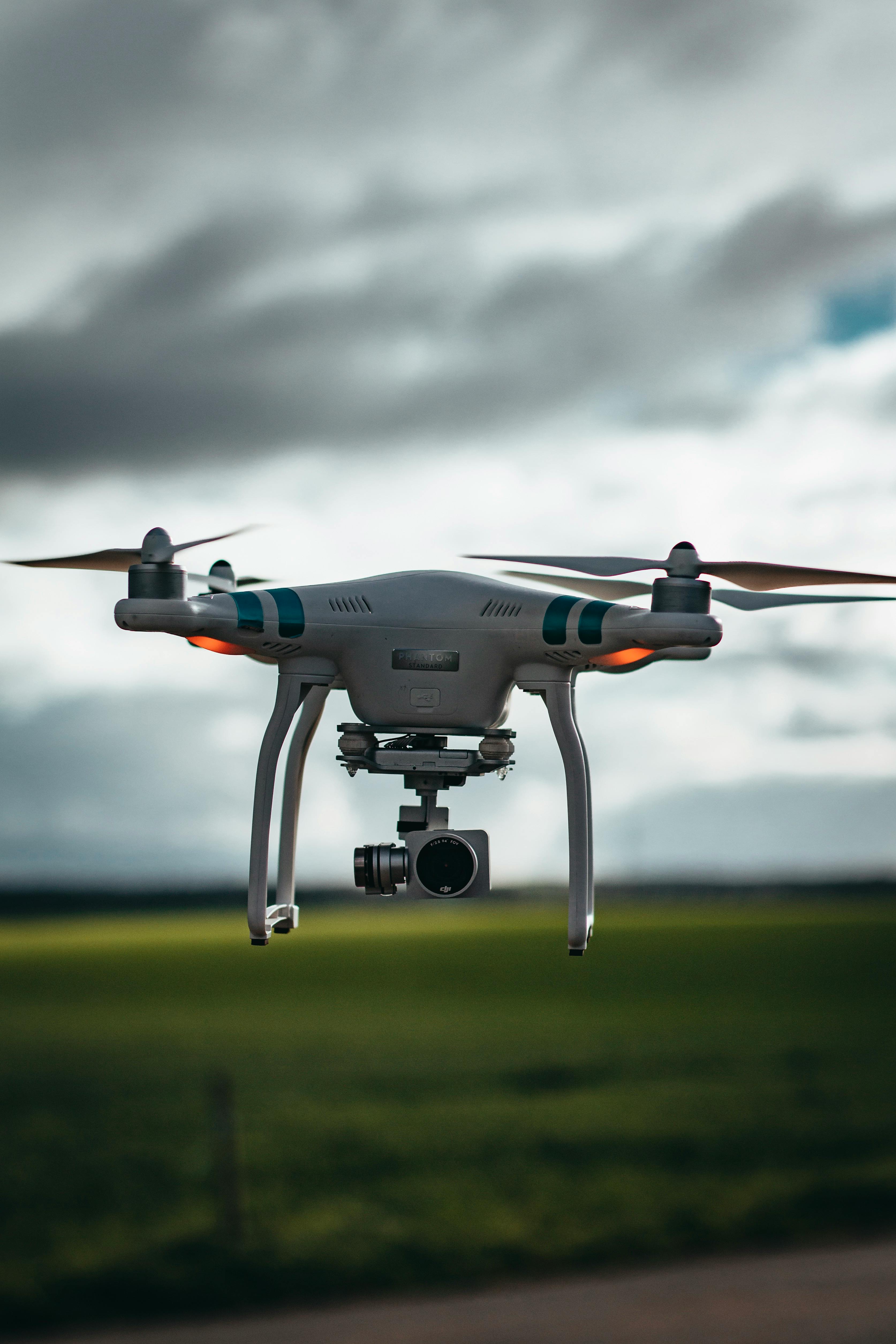
Our Services: Advanced AI-Powered Drone Solutions 💡

A comprehensive suite of offerings to empower your operations with cutting-edge aerial technology.

Custom AI-Integrated Drone Design

End-to-end design: airframe + sensors + compute + communication + control. Tailored solutions built from the ground up to meet specific operational requirements.

Onboard Edge Intelligence

Implementing advanced AI capabilities such as neural networks, computer vision, sensor fusion, and real-time path planning directly on the drone for autonomous decision-making.

Autonomous Swarm & Coordinated Missions

Advanced capabilities for multi-UAV coordination, intelligent collision avoidance, and dynamic task allocation for complex, large-scale missions.

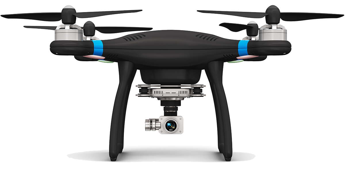
Domain-Specific Payload Integration

Seamless integration of advanced sensors like Lidar, multispectral imagers, thermal cameras, and RF sensors for specialized data collection and analysis.

Operations, Training & Support

Comprehensive services including pilot training, system maintenance, remote troubleshooting, and insurance support to ensure smooth and secure operations.

Survey & Mapping

Utilizing AI-powered drones for high-precision real-time monitoring, 3D mapping, topographic surveys, and enhanced situational awareness in various environments.

Image
Image

Delivery Drone

Delivery & Connectivity:

  • Developed a long-range, multi-purpose drone capable of parcel delivery, surveillance, and emergency relief missions integrated with WiFi and Starlink connectivity for beyond-line-ofsight operations, real-time telemetry, and autonomous navigation for remote supply and monitoring missions.
  • Project Delivered to our clientin Canada.
Image

Agriculture Drone

Agriculture & Environmental Intelligence:

  • Developed an AI-driven precision agriculture drone equipped with multispectral and thermal sensors for crop health monitoring, pest detection, moisture analysis, and yield prediction, enabling real-time decision-making and automated prescription mapping for smarter farming.
  • Project Delivered to clientin UK.
Image

Lux Detections

Sports & Smart Infrastructure:

  • Engineered a custom UAV with lux and spectral sensors for field illumination and glare assessment, supporting sports stadium compliance, lighting uniformity analysis, and energy optimization scalable for smart city and municipal lighting audits.
  • Project Delivered to clientin Switzerland.
Image

Custom FPV Drones

Media & Entertainment:

  • Designed and built high-speed FPV drones optimized for cinematic filming, live sports, and event broadcasting,featuring 4K camera integration, agile maneuverability, and stabilized visuals tailored for media, advertising, and production industries.
  • Provided multiple consultancies on troubleshooting and delivered sevral projects across the Globe.
Image

Surveillance & Security

Safety, Rescue & Surveillance:

  • Developed a Pixhawk 2.4.8–based octocopter for precision surveying, mapping, and site documentation, with payload capability for rescue and emergency deliveries,featuring autonomous GPS-guided missions and modular sensor/camera integration for diverse field operations.
  • Project Delivered to Client in USA.
Image

Custom Ai- Integration

Custom AI-Integrated Drone Design:

  • Designed and developed custom UAVs integrated with onboard AI for real-time object detection,tracking, and intelligent automation, delivering data-driven solutions across agriculture, inspection, delivery, and research sectors.
  • Project Delivered for one of our USA client.
Image

Survey & Mapping

Aerial Surveying & Mapping:

  • Developed high-precision mapping drones for topographic surveys, land measurement, and GIS data acquisition, capable of producing accurate 3D terrain models and orthomosaic imagery supporting construction, infrastructure, and environmental projects.
  • Project Delivered for one of our Denmark client.
Image

Agriculture & Forestry

Agriculture & Environmental Solutions:

  • Engineered high-accuracy survey drones for topographic mapping, land surveying, and GIS data generation, producing detailed 3D terrain models and orthomosaic imagery optimized for construction, infrastructure, and environmental analysis.
  • Project delivered to our UK client.
Image

Security & Surveillance

Industrial Inspection & Maintenance:

  • Developed aerial inspection drones equipped with thermal and LiDAR sensors for bridges, towers, powerlines, and pipelines, enabling fault detection, anomaly analysis, and autonomous monitoring to enhance safety and minimize downtime.
  • Project delivered to our USA client.
Image

Aerial Inspection

Industrial Inspection & Maintenance:

  • Conduct aerial inspection of bridges,towers, powerlines, and pipelines
  • Integrate thermal and LiDAR sensors for detecting faults and anomalies.
  • Reduce downtime and enhance worker safety through autonomous monitoring.
Image

Drone training

Pilot Training & Certification:

  • Offer hands-on UAV pilottraining for beginners and professionals.
  • Cover flight safety, airspace regulations, and mission operations.
  • Prepare pilots for industry certification and autonomous flight control.
  • GVC, UK Certified Professionaltrainers.
Image

Projects Delivered

  • Delivery Drone
  • Stadium Light measurement Drone
  • FPV Freestyle /Racing Drones
  • Lidar mounted cinewhoop for indoors inspection
  • Agriculture / crop crop monitoring Drone
  • Survey / Mapping Drone